Banks Peninsula trust maps biodiversity for conservation
Summary and headline written by AI from the source article. How we work
James Wright and Josh Foster of the Banks Peninsula Conservation Trust (BPCT) in New Zealand are using drone photography to survey 1600 hectares of farmland and identify native plants and animals.
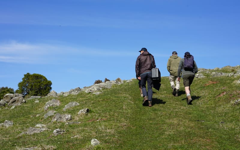
The pair work with farmers like Tim Coop in Port Levy, a sheep and beef farming area, to document the biodiversity on their properties. Wright flies the drone, capturing images that Foster then analyzes to create reports for the landowners.
This work builds on 25 years of conservation efforts by the BPCT, which was started by local farmers in 2001. The trust also uses on-foot surveys and environmental DNA tests to gather data. Sarah Anderson, co-ordinator of Te Ahu Patiki trust, noted that photographs from the drone surveys effectively communicate the value of restoration projects to a wider audience. Recent surveys of a 500-hectare park revealed damage from February flooding, but also provide a baseline for tracking plant regrowth.
The trust emphasizes a collaborative approach, valuing farmers’ local knowledge and prioritizing positive relationships over strict regulations to achieve long-term conservation goals. The farm biodiversity programme itself began in 2023.