Indonesia reduces forest fires with air and ground teams
Summary and headline written by AI from the source article. How we work
Indonesia’s Forestry Ministry is tracking and responding to forest and land fires across the country, and reported a drop in hotspot detections.
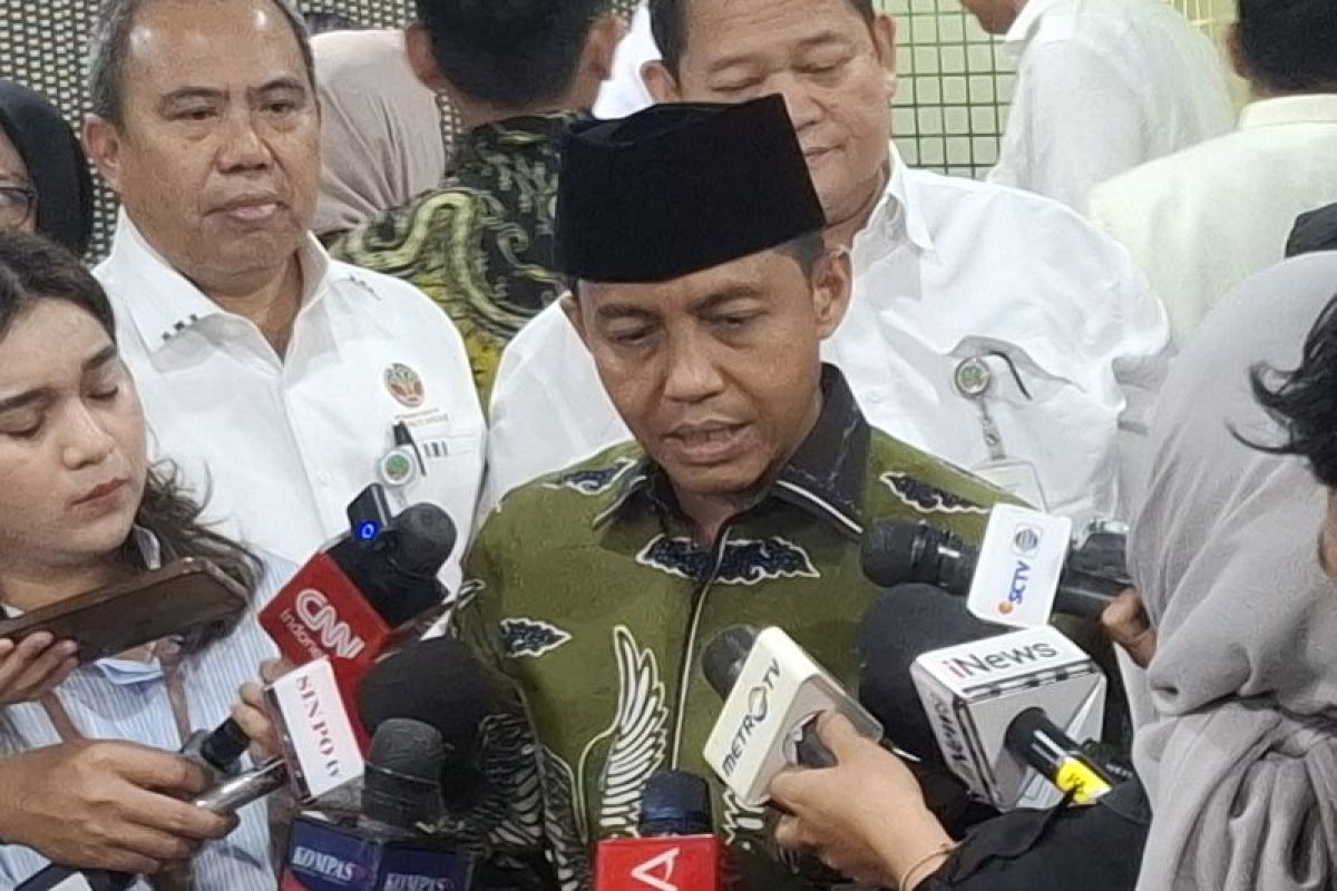
Minister Raja Juli Antoni stated the ministry uses the SiPongi monitoring system, relying on data from NASA satellites, to track potential fires. As of September 15, SiPongi recorded 1,037 hotspots nationally, a decrease of 400 from the previous day. Central Kalimantan, West Kalimantan, and South Kalimantan showed the most significant reductions in hotspot counts.
However, South Sumatra and Jambi provinces experienced increases in detected hotspots during the same period. The Ministry of Forestry clarified that hotspots are temperature anomalies and may not always indicate active fires, so ground teams verify satellite data. The government is combining aerial firefighting with ground teams to control the blazes. They have 53 aircraft ready for deployment in six priority provinces, 34 for water bombing and 19 for patrols and cloud seeding.
Minister Antoni emphasized that ground forces are essential for extinguishing fires and wetting peatlands, particularly during strong El Niño events.