Scientists map hidden glacier with gravity measurements
Summary and headline written by AI from the source article. How we work
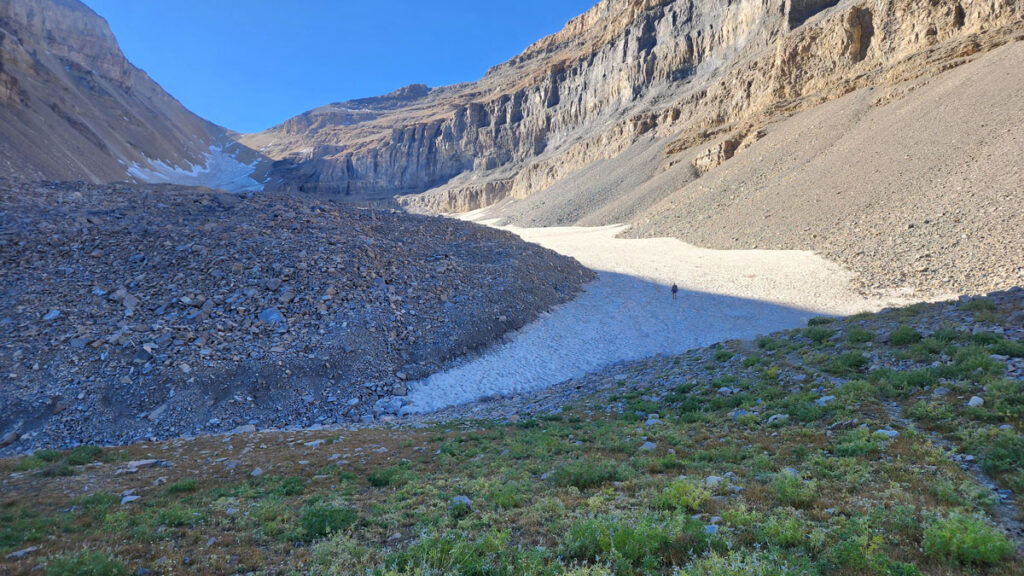
Researchers at the University of Utah mapped Timpanogos Glacier in Utah, a glacier concealed under rockfall, using a gravimeter to measure changes in gravity caused by differences in density between ice and rock.
Michael Thorne, a seismologist, proposed using a gravimeter because ground-penetrating radar struggles to measure ice thickness in rock glaciers. The team carried the gravimeter up a trail on Mount Timpanogos and took 232 measurements over six trips.
They then used a statistical method called Bayesian inversion to compare the gravity data with simulations of ice distribution, creating a detailed 3D map. This allowed them to estimate the glacier holds 1,550,000 cubic meters of ice, enough to fill Egypt’s largest pyramid. Doug Clark, a geologist at Western Washington University, noted the study represents an improvement in estimating ice volume in rock glaciers.
The researchers extended their analysis to estimate ice volumes in Utah, the western United States, and globally, finding Utah’s rock glaciers hold about 1.08 cubic kilometers of ice. Rock glaciers are important because they release water year-round and provide cooler habitats for plants and animals. Scientists now hope to determine how much these glaciers contribute to water resources and how their meltwater impacts the surrounding environment, as they are currently not included in Utah’s hydrological models.