Ecological corridors aid jaguar survival in Brazil’s Cerrado
Summary and headline written by AI from the source article. How we work
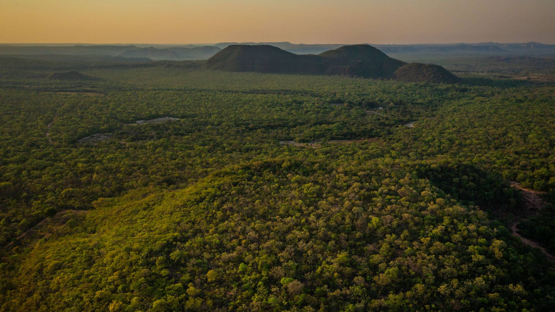
Ecologists in Mambaí, Goiás, Brazil are working to map routes for jaguars ( Panthera onca ) to travel between protected areas within the Cerrado biome.
Samantha Rincón, a Colombian ecologist coordinating the “Onde a onça bebe água” (Where the Jaguar Drinks Water) project for Funatura, leads a team focused on filling data gaps about jaguar movement and survival in this region.
Historically found in the Amazon and Pantanal wetlands, jaguars in the Cerrado face isolation, habitat loss due to agriculture, and limited scientific data. The project models ecological corridors connecting Brasília National Park, Chapada dos Veadeiros National Park, and Grande Sertão Veredas National Park, using geoprocessing. Researchers are using camera traps and tracking to understand how jaguars use these corridors.
In 2025, they installed 76 cameras, resulting in 25 locations with jaguar sightings, 52 camera trap records, and 17 track-based records, and identified the same individual jaguars using different areas. The project also works with local communities, implementing 46 agroforestry systems on land reform properties. These systems provide food security and income, encouraging residents to support conservation efforts.
Despite challenges like climate change, the Riachão River is currently dry after two decades of decline, and occasional equipment theft, the team continues to gather data to inform conservation strategies and potentially establish private reserves and payment programs for environmental services.