Roman roads didn’t all lead to Rome
Summary and headline written by AI from the source article. How we work
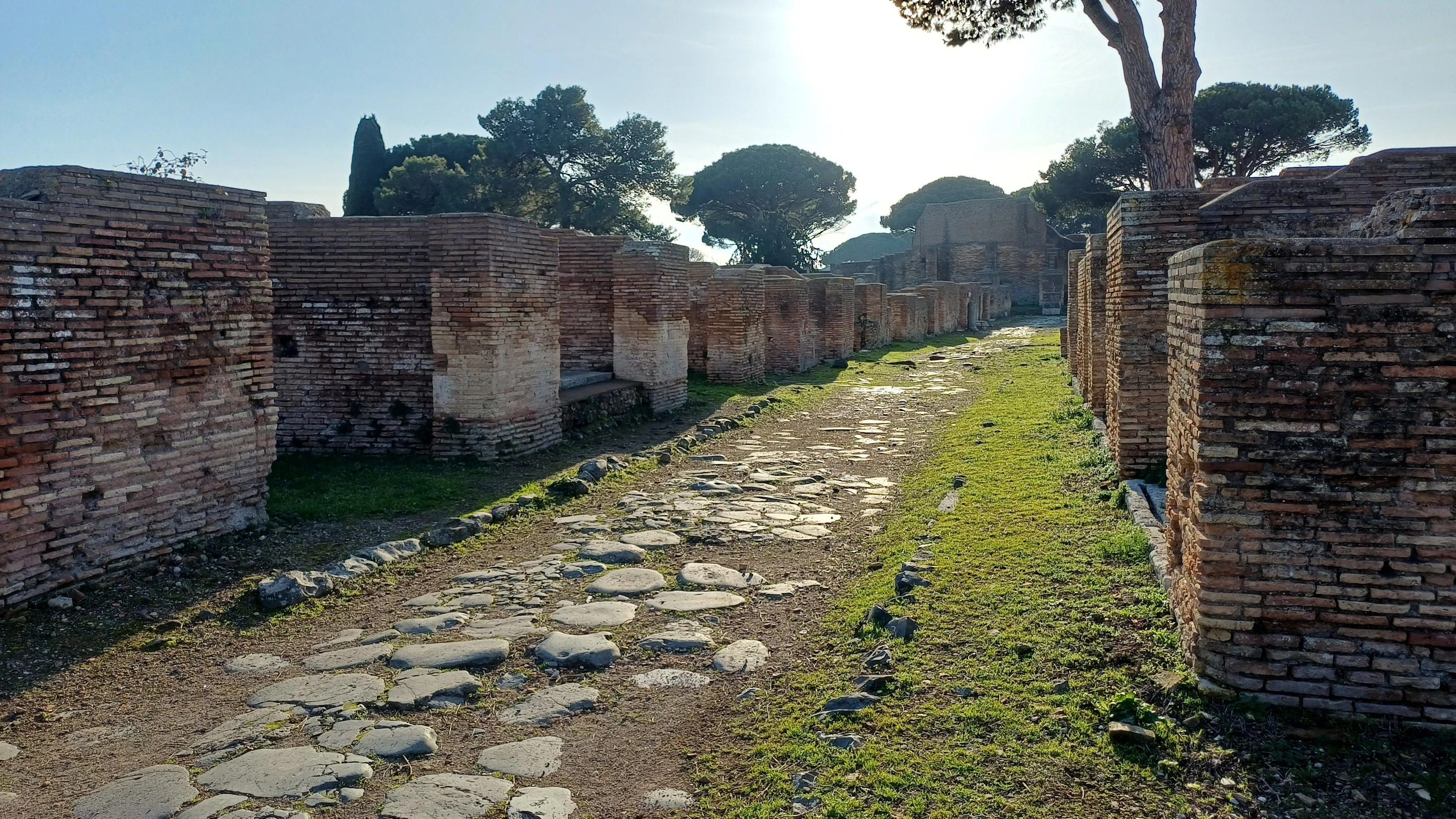
Archaeologists in Denmark analysed the Roman road network and discovered surprising patterns in its construction and use across the Roman Empire.
Tom Brughmans from Aarhus University led a team that examined a digital model of nearly 300,000 kilometers of Roman roads. The researchers focused on the empire around 150 AD, during the reign of Emperor Antoninus Pius, and mapped road density as the total length of roads within a 25-kilometer radius of any given point.
The analysis revealed that the Roman road network differed from modern road systems in unexpected ways. Researchers noted differences in regions like North England and along the Rhine River, which reflect later economic developments. Surprisingly, some areas in western North Africa and southwestern Asia also showed distinct patterns compared to modern roads. Brughmans’ team also found that Roman roads were generally less straight than modern roads and that road planning appeared to have happened at the provincial level.
Some cities, including Antiochia, Ancyra (modern-day Ankara, in Turkey), and Byzantium, had better road connections than Rome itself. This research may help historians identify continuities between the Roman period and later eras.