UN asks world to redraw maps for more accurate Africa size
Summary and headline written by AI from the source article. How we work
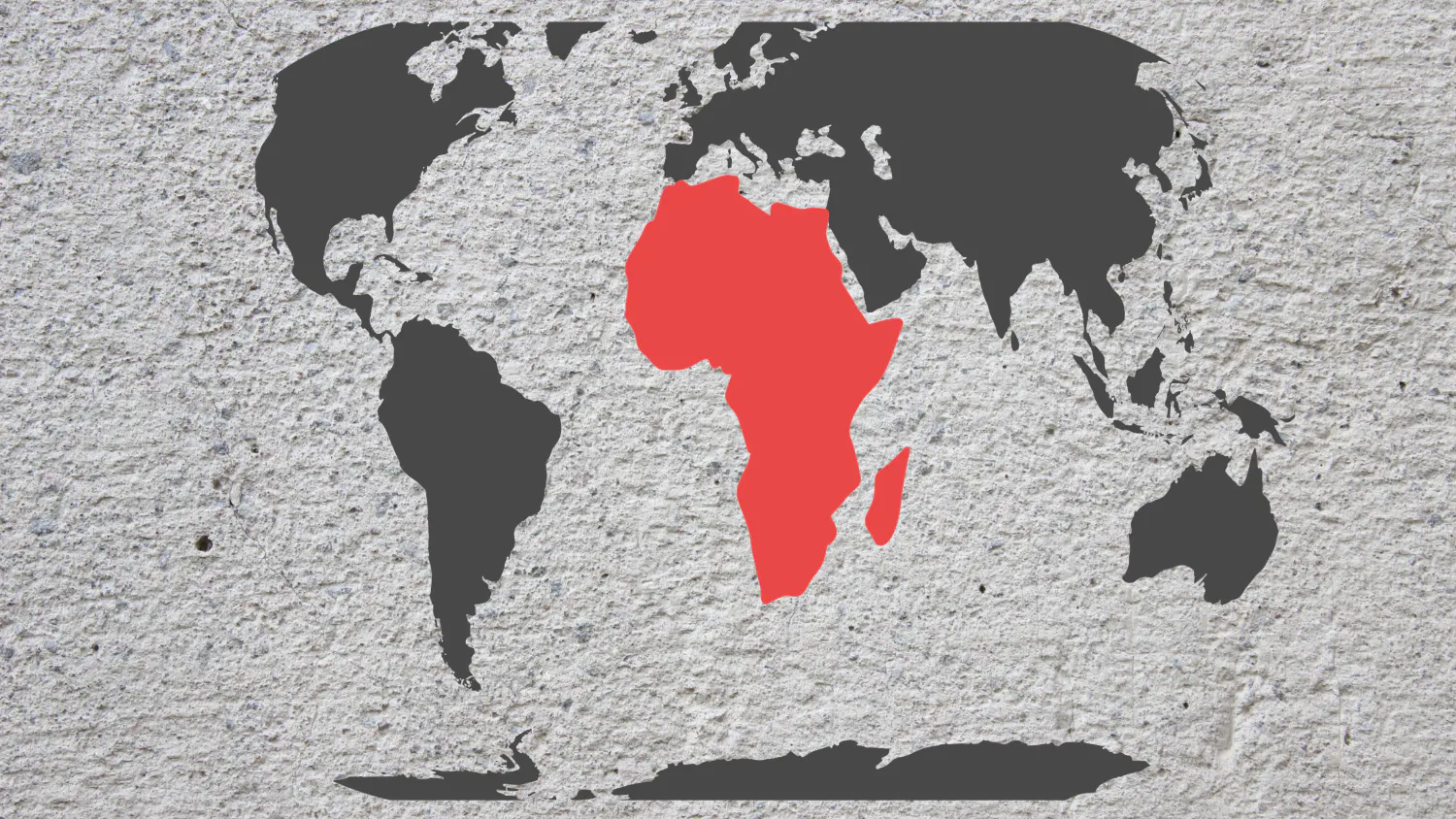
The United Nations recently passed a non-binding resolution encouraging the use of the Equal Earth map projection, which more accurately displays the size of continents.
Currently, the commonly used Mercator projection exaggerates the size of land near the North and South Poles, making Africa appear smaller than it is. The Equal Earth projection minimizes these distortions, giving a truer representation of landmasses. Cartographers explain that map projections transform the spherical Earth into a flat, two-dimensional map, inevitably causing some distortion.
While no projection is perfect, Equal Earth is considered better suited for global maps used in education, public communication, and policy making. The Mercator projection will not disappear entirely, as it remains useful for navigation by maintaining consistent compass headings. The UN resolution aims to support the idea that Equal Earth is a fairer representation, though widespread adoption requires updating maps in textbooks, databases, and media.
The projection was developed by cartographers and gained popularity after its 2018 release, with wall maps and media outlets already using it. The United States was the only country to vote against the resolution, arguing it was an ideological project for the UN to debate, while Ukraine and Russia raised concerns about the depiction of disputed territories like Crimea.
Ultimately, African nations see the new projection as a form of “cognitive justice,” helping to correct a historical misrepresentation of the continent’s size and importance.