Amadiba communities map ancestral lands to oppose mining and infrastructure
Summary and headline written by AI from the source article. How we work
The Amadiba people of Mpondoland in South Africa created a series of counter-maps to defend their coastal territory against industrial development.
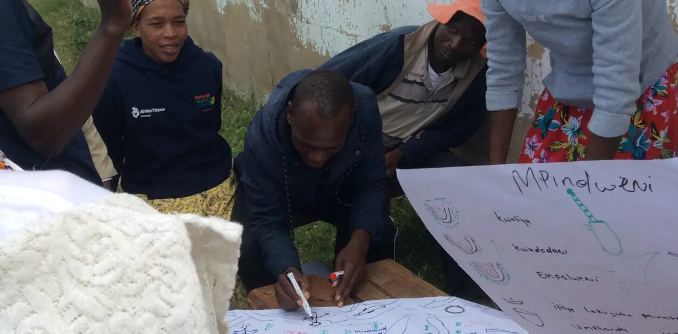
This project, called Maps Are Now Our Spears, was a collaboration between the Amadiba Crisis Committee and human and physical geographers. The initiative aims to challenge official government and corporate narratives that portray the region as a high-poverty area requiring mining and large-scale infrastructure. The mapping project involved 100 elders, adults, and youth from six coastal villages.
These participants shared stories to document sites of cultural, spiritual, and historical importance, as well as areas for food production and grazing. The resulting maps show a thriving land-based economy where the community manages ecotourism, small-scale agriculture, and traditional fishing. These findings contrast with the 2025 Draft Wild Coast Coastal Development Plan, which suggests the local population lacks jobs and harms the environment.
The community is currently fighting a 410km four-lane highway being built by the South African National Roads Agency Limited. The project has already caused noise, dust, and the pollution of drinking water streams. To protect their land, the Amadiba Crisis Committee commissioned engineers to design an Alternative Inland Route. This proposed path is shorter and cheaper than the current plan and avoids sensitive biodiversity areas and homes.
The maps also highlight the community's use of customary law, where decisions are made at the Komkhulu, or Great Place. Under this system, land is treated as a permanent legacy rather than a financial commodity. The community seeks for the government to integrate these maps into official spatial plans and to respect their right to refuse mining projects in favor of sustainable local development.